Rung Sat Vietnam
Low-lying jungle river delta of tidal channels, swampy islands and small villages, ringed by open water. Plan operations on this 9.2 km Arma Reforger map in TacOps.
Map tiles updated
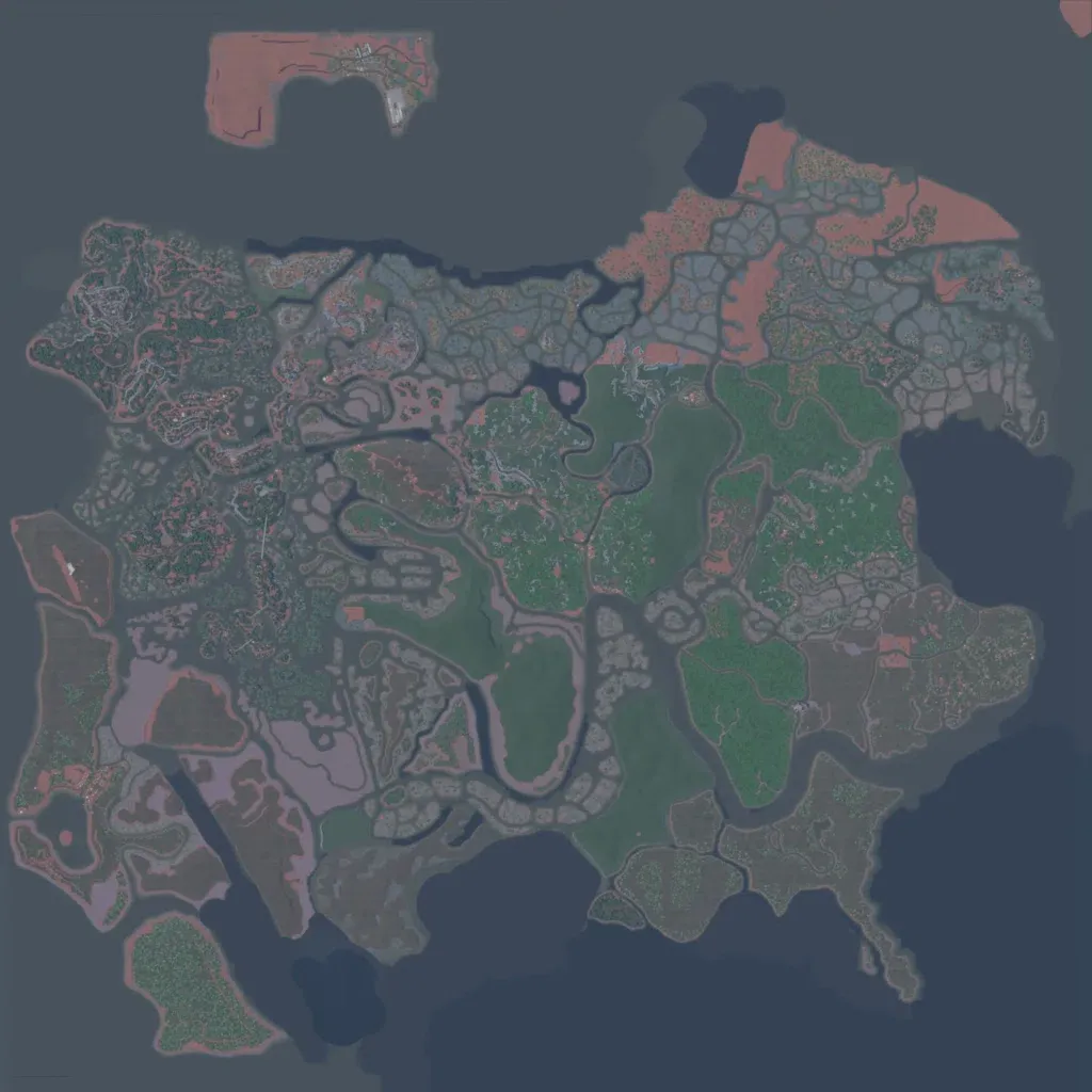
A 9.2 km low-lying river delta of winding channels, swampy islands and dense jungle, ringed by open water. Grids of grey ponds or paddies cover much of the north-centre; the northwest holds the densest villages and tracks. About 1,400 buildings sit in small villages such as Lang Bun, Doi Lua and Wang Bang, linked by 42 km of roads. A small detached island lies off the north coast. It suits riverine patrols, boat insertions and close jungle infantry fights. The author titles it Rung Sat, Vietnam.
Map facts
- Game: Arma Reforger
- Size: 9.2 km, 10 by 10 grid squares of 1 km
- Made by UncleBilly (Workshop page)
Layers and modes
- Satellite imagery
- In-game map
- Topographic map details
- Roads
- Contour lines every 10 m
- Named places
- Hillshade
- Slope analysis
- Tree canopy
- Line-of-sight checks
- Water levels
- 3D terrain view (TacOps Pro)