Sangin V2
12 km desert map with a green farmland valley running northeast to south, many compounds, and a western airstrip. Plan operations on this 12 km Arma Reforger map in TacOps.
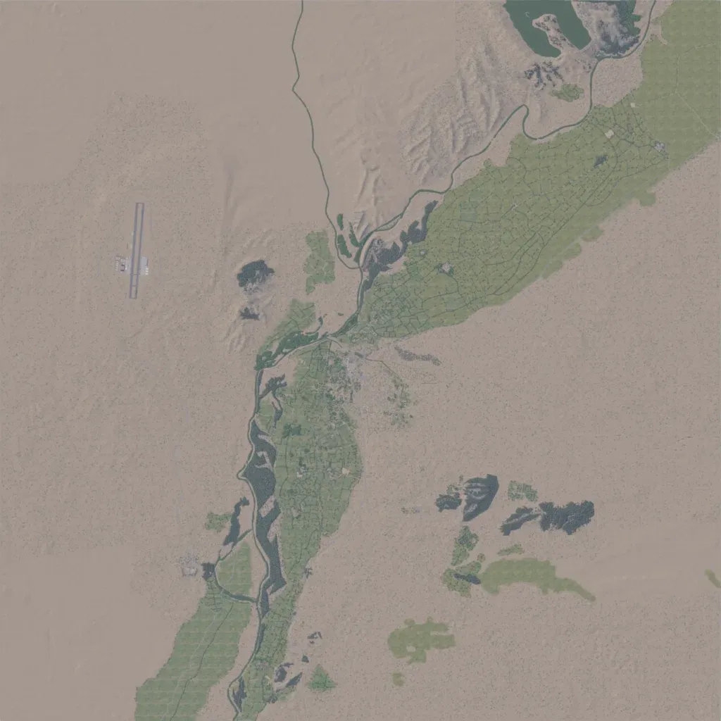
Mostly flat desert, with hills in the north and heights of 600 to 840 m. A green valley of walled fields and compounds runs from the northeast corner to the south edge. There are 34 towns and villages, including Sangin and Kajaki, and an airstrip in the western desert. Much of the western and eastern desert is bare open ground with few features. It suits patrols and compound clearing in the valley. The author calls it a downsized version of the Helmand map with an added coal mine.
