Sekwati Game Reserve
Dry bush savanna cut by a tree-lined riverbed and dirt tracks, with few buildings, 6 km square. Plan operations on this 6.1 km Arma Reforger map in TacOps.
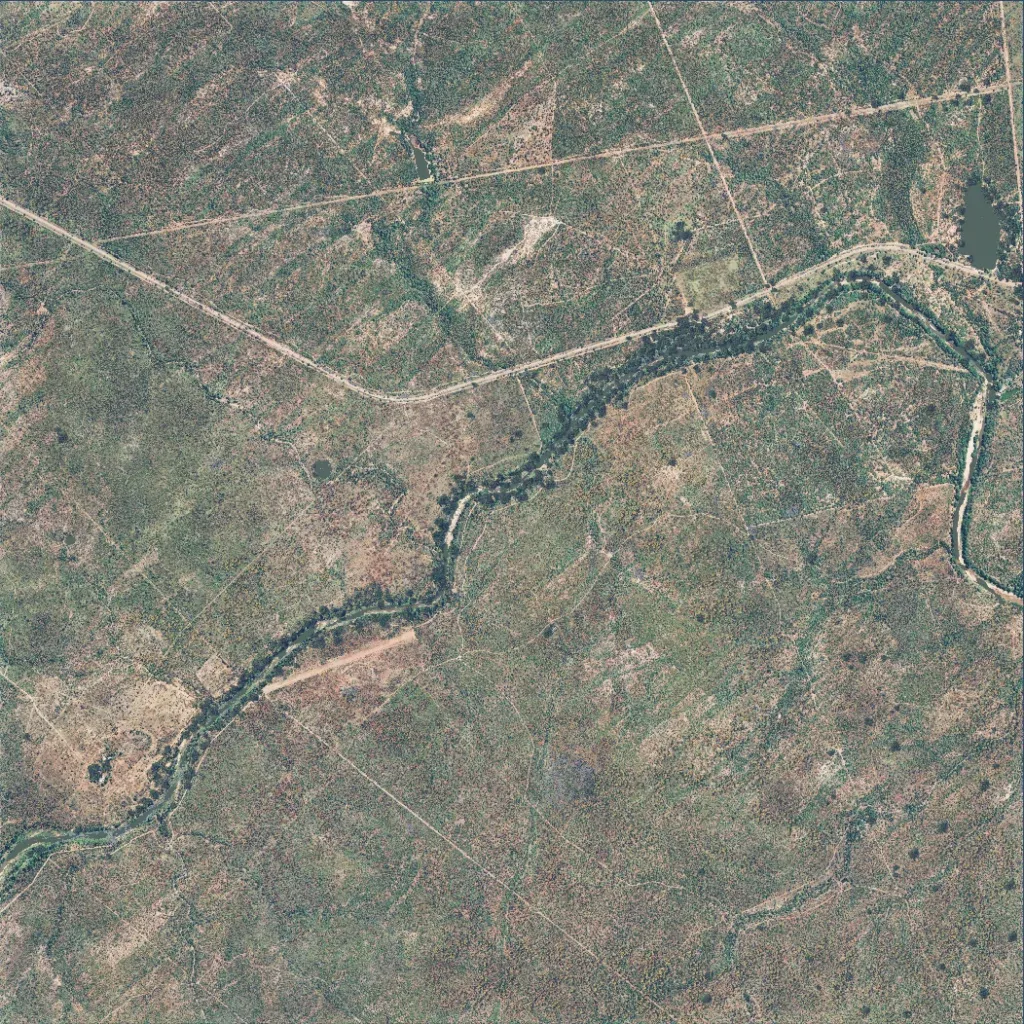
Low bushveld of scrub, 6.1 km square, between 420 and 530 m elevation. A tree-lined, dry riverbed winds from the southwest corner to the east edge, with a small pond in the northeast. A main dirt road enters from the west and follows the north side of the river; 45 roads and tracks total 91 km. There are no towns, only 67 scattered buildings. It suits tracking and patrol operations in bush. The author bases it on a Limpopo, South Africa game reserve and calls it a work in progress.
