Serhiivka
Flat farmland with a grid-street town at the centre, a northern highway, and water along the west edge. Plan operations on this 10.2 km Arma Reforger map in TacOps.
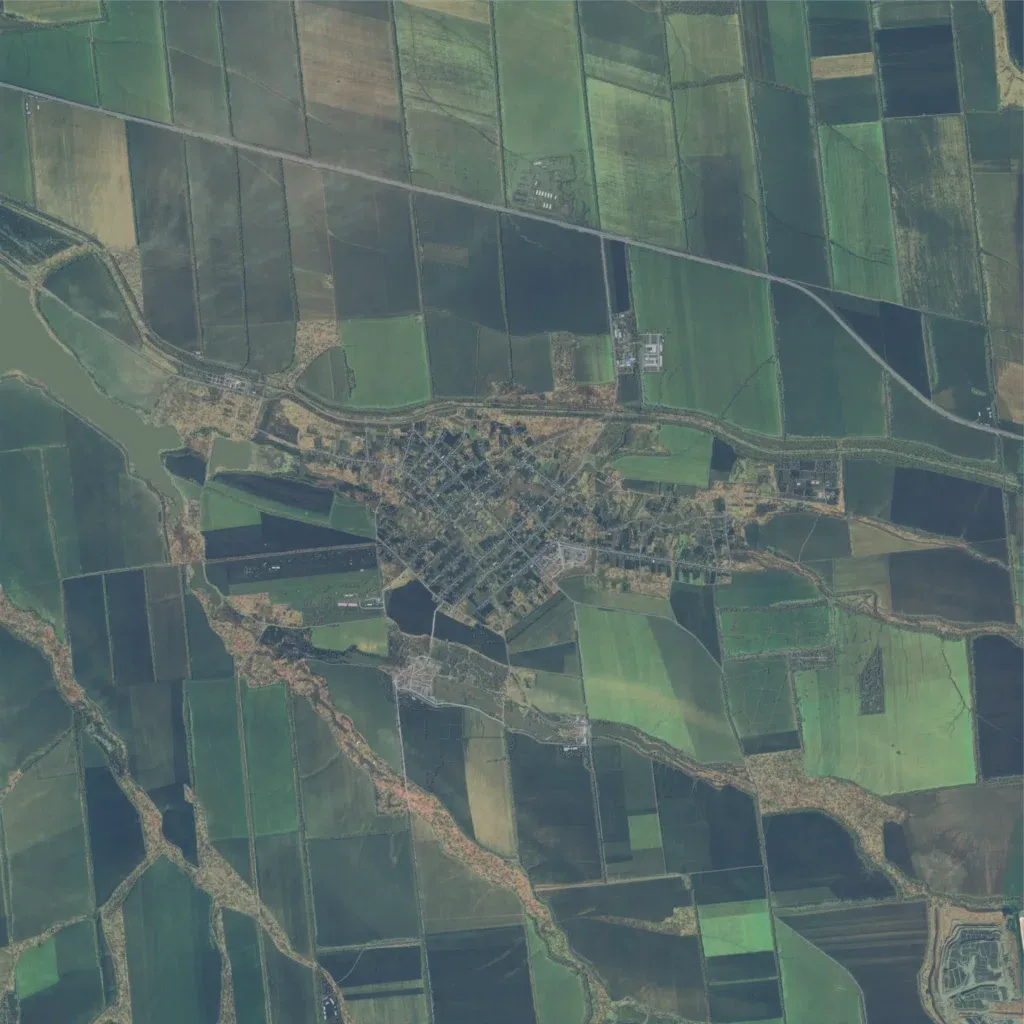
The 10 km map is mostly farmland split into large fields by tree belts, at 100 to 200 m elevation. A grid-street town sits in the centre, with a smaller village just south and an industrial site in the southeast corner. A straight highway crosses the north, and the road network totals about 267 km. A lake and river channel lie along the western edge. Open fields give long sightlines and little cover outside the settlements, suiting mechanized operations. The author describes a war-torn Eastern European town.
