Iwo Jima
Island with wide sand beaches, a scrub-forest interior, sparse buildings and dirt tracks, open to the sea on all sides. Plan operations on this 8.2 km Arma Reforger map in TacOps.
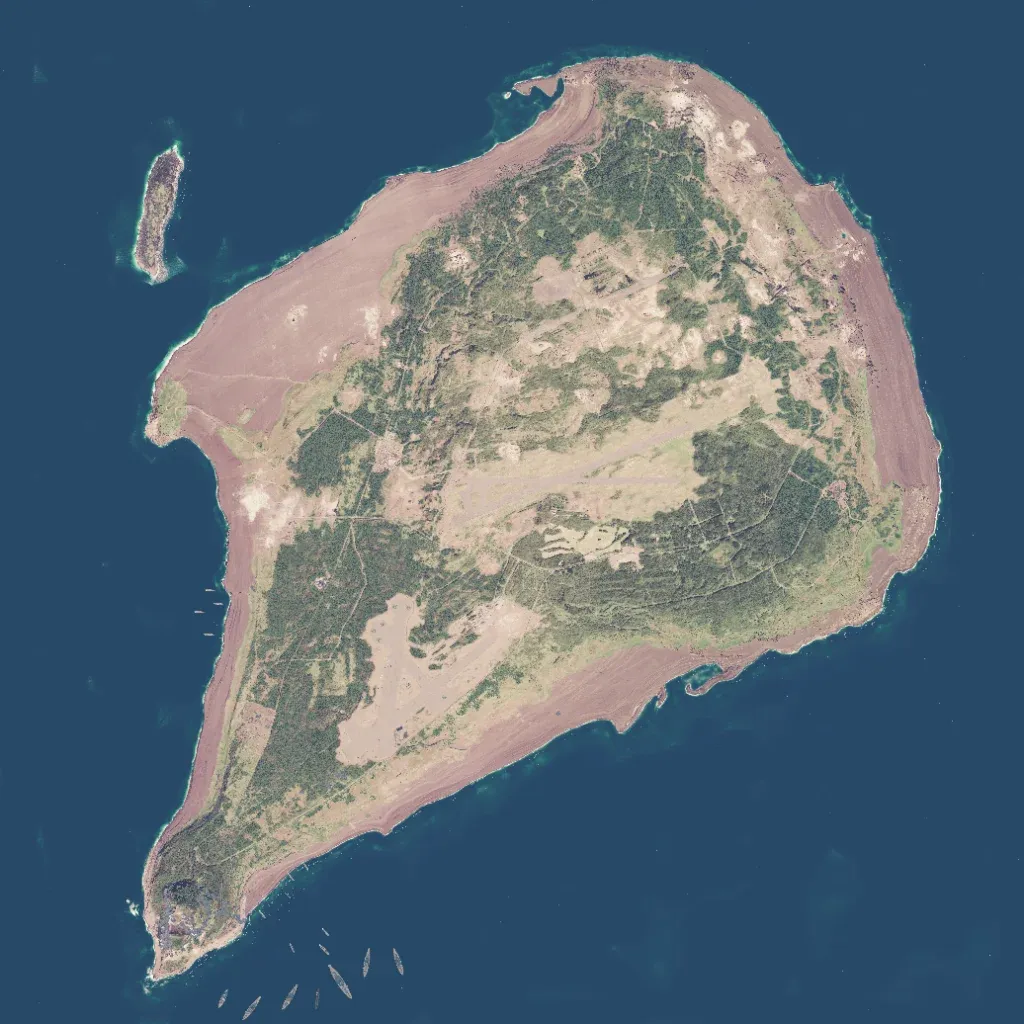
A pear-shaped island tapering to a southwestern tip sits in open sea on the 8.2 km map, edged by wide reddish-brown sand beaches. Its interior is scrub forest crossed by dirt tracks, with large bare clearings in the centre and south. Ground rises to about 140 m; a rocky knob marks the southwestern tip. About 130 buildings serve five named localities, and 13 roads total 36 km. Open beaches and patchy cover suit amphibious landings and infantry assaults. Made for Spearhead Milsim with a fixed navmesh and Game Master scenario.
