Sint Eustine
Forested island with a central-west town, an airstrip, a high southeastern peak and two smaller offshore islands. Plan operations on this 7.2 km Arma Reforger map in TacOps.
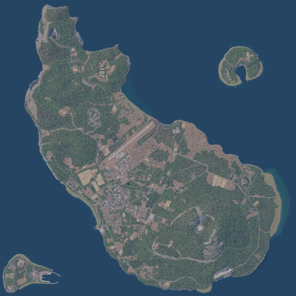
One long island runs northwest to southeast, with a ring-shaped islet to the northeast and a small harbour island to the southwest. Dense forest covers most ground, rising to a 580 m peak in the southeast. The main town lies inland in the west-centre, just south of a paved airstrip. Named places include Oranjestad, Bevlin, Havenrock, Rio and Zeelandia, with 1,305 buildings and 117 km of roads. Imagery is complete, with no blank ground. The author bases it loosely on Sint Eustatius. Suits urban fighting, airfield assaults and amphibious landings.
