Skaraborg
Open farmland and patchy forest on a 9.2 km square, with one town in the southwest and dense woods in the north. Plan operations on this 9.2 km Arma Reforger map in TacOps.
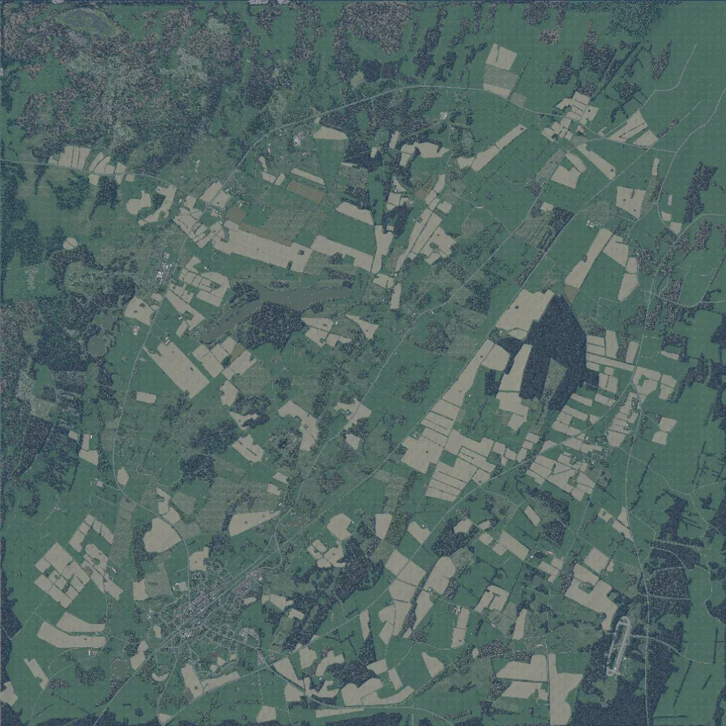
The 9.2 km square is mostly grassland and pale crop fields with scattered woods, densest along the northern edge. The author calls it an unfinished recreation of Skaraborg, Sweden. The single town sits in the southwest, with small building clusters elsewhere and an oval paved loop in the southeast. About 233 km of roads link them. Water is limited to small lakes and ponds. Wide stretches are bare uniform grass, giving long sightlines suited to mechanized and long-range infantry operations.
