Skelloy
Hilly 14 km island of grassland and forest patches with small villages, an airfield and a mostly empty northeast. Plan operations on this 14.1 km Arma Reforger map in TacOps.
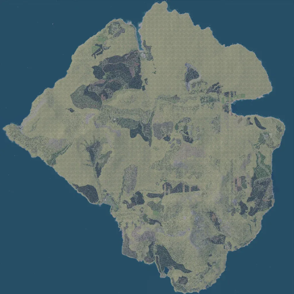
The roughly 14 km island rises from 10 to 490 m, mixing open grassland with scattered dark forest patches. Named places include Hulvik Airfield, Vinterdalen Military Base and Grafjell mine, but its 380 buildings are thinly spread. There are 161 road segments totalling about 134 km and 18 lakes. The large northeastern lobe is a bare, repeating grass texture with almost nothing placed. Infantry and light vehicle operations fit the detailed west, centre and south. The author describes it as a work-in-progress fictional island based on Scandinavia.
