Skirinka Island
Small scrub-covered island in open sea with scattered buildings, rocky coves and a few east-west roads. Plan operations on this 7.9 km Arma Reforger map in TacOps.
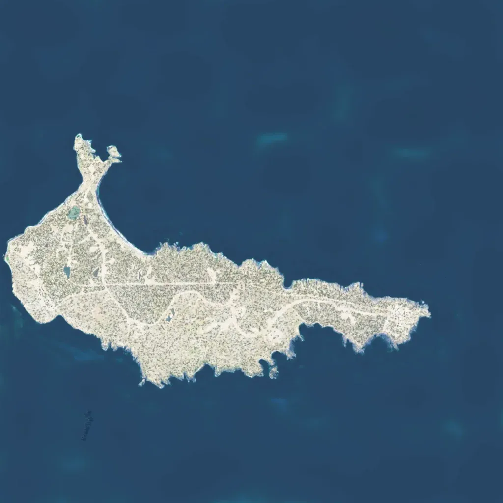
One island about 7 km east to west, with a hooked peninsula in the northwest. Low scrubland rises to about 120 m, with rocky coves on the south coast. Eleven roads, about 15 km total, run mostly east to west. There are 147 buildings in small scattered sites, plus 7 military points of interest. Imagery covers all land, with no blank areas. The author describes it as a Soviet-occupied island for US forces to liberate. It suits small infantry assaults and amphibious landings.
