Skyropoula
Small wooded island in open sea with low hills, three small ponds, scattered buildings and a light road network. Plan operations on this 4.1 km Arma Reforger map in TacOps.
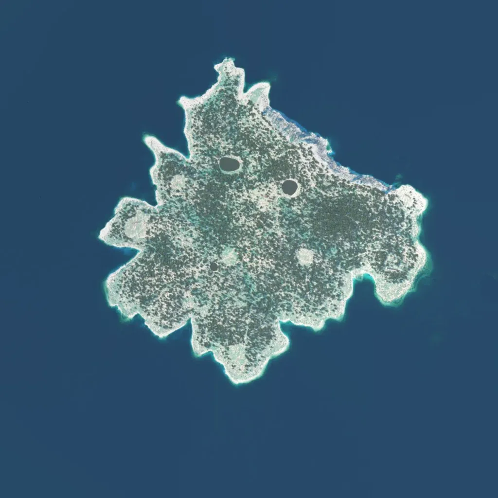
Most of the 4 km world is open sea around one central island of scattered trees and scrub on rocky ground. Elevation runs 10 to 160 metres over 16 mapped hills, with a rocky north-east coast. There are no named towns, only 34 buildings, 251 walls and three inland ponds. Twenty-one roads total about 18 km. Imagery covers the whole island with no placeholder ground. It suits small infantry, recon or amphibious landing missions rather than urban fighting. The author describes Mediterranean-inspired terrain with coves and amphibious landing zones.
