Sochocin
Farmland and large forests around a central town with outlying villages and wide stretches of open grass. Plan operations on this 6.9 km Arma Reforger map in TacOps.
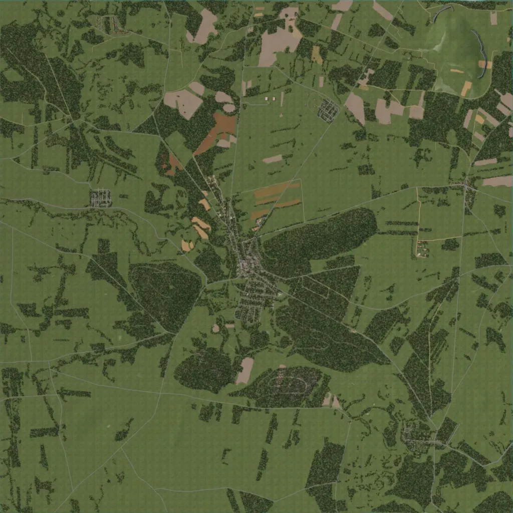
A 6.9 km map of grassland, woods and fields, 80 to 260 m high, with no lakes. A town sits at the centre, with small villages to the west, north-northeast and southeast. 144 roads totalling about 119 km link them. Large forests surround the town, with wide open grass, roads and tree lines between the woods. The author calls it a Polish village whose surroundings are still under construction, with the main town and nearby village finished. Woods and open ground suit infantry and vehicle operations.
