Soledar
8.45 km farmland map with a dense central town, forest belts and wide open fields. Plan operations on this 8.5 km Arma Reforger map in TacOps.
Map tiles updated
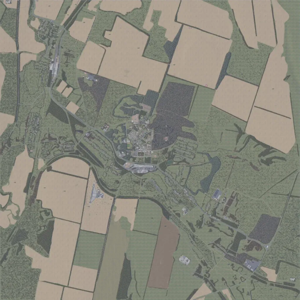
The author presents it as Soledar in Ukraine's Donetsk region. Gently rolling farmland 8.45 km across, 0 to 120 m high, is split into large fields by tree lines and forest. A dense town sits at the centre, with villages to the north-west and settlement and industry running south-east. There are 169 km of roads, one small lake and an airstrip south-west of town. Field ground uses a visibly repeating texture with little cover. It suits combined-arms assaults on the town across open ground.
Map facts
- Game: Arma Reforger
- Size: 8.5 km, 9 by 9 grid squares of 1 km
- Made by GROM002 (Workshop page)
Layers and modes
- Satellite imagery
- In-game map
- Topographic map details
- Roads
- Contour lines every 10 m
- Named places
- Hillshade
- Slope analysis
- Tree canopy
- Line-of-sight checks
- Water levels
- 3D terrain view (TacOps Pro)