Sophiental
Flat 4 km farmland map with large western forest, two villages, and a straight route along the north edge. Plan operations on this 4.1 km Arma Reforger map in TacOps.
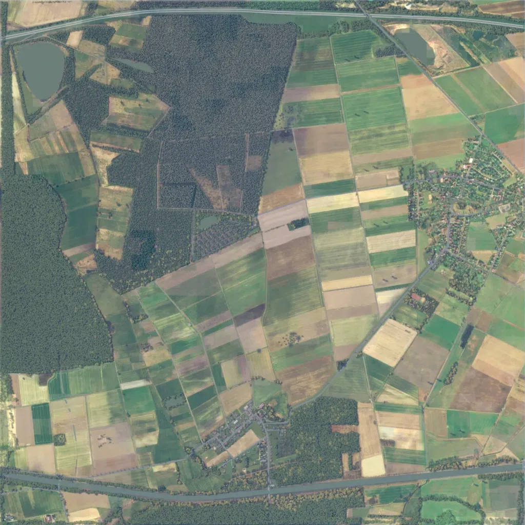
A 4 km square of flat farmland, 40 to 80 m in elevation. Dense forest covers the west and north-centre; open field patchwork fills the centre and east. A large village lies east and a smaller one south, 387 buildings in all. 126 road segments total about 92 km, including a straight route along the north edge. Ponds sit in the northwest and northeast. Long sightlines over the fields suit mechanised and infantry attack-defence missions. The author sets a scenario near Braunschweig in northern Germany against a Soviet advance.
