South Of Bakhmut
Open 10 km farmland cut by tree lines, with two villages, cratered fields, small ponds and long straight tracks. Plan operations on this 10.2 km Arma Reforger map in TacOps.
Map tiles updated
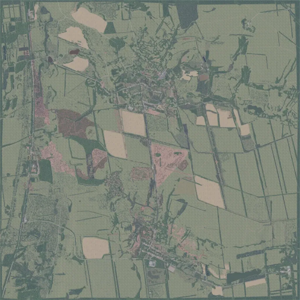
This 10 km square map is mostly open farmland split by long tree lines, with scattered woods. The author sets it between Kodema and Zaitseve on the Road of Life, south of Bakhmut, in early 2024. The main village sits north-centre, a second south-centre, and houses line a north-south road in the west. About 450 km of roads and tracks cross it; water is only small ponds. Many fields are pocked with shell craters. Long open sightlines suit armour and infantry assaults between tree lines.
Map facts
- Game: Arma Reforger
- Size: 10.2 km, 11 by 11 grid squares of 1 km
- Made by Trezmoh, ChrisArmstrong (Workshop page)
Layers and modes
- Satellite imagery
- In-game map
- Topographic map details
- Roads
- Contour lines every 10 m
- Named places
- Hillshade
- Slope analysis
- Tree canopy
- Line-of-sight checks
- Water levels
- 3D terrain view (TacOps Pro)