Southern Kherson Oblast
Flat 3.8 km farmland map cut by a winding river, with forest blocks, tree lines and several small villages. Plan operations on this 3.8 km Arma Reforger map in TacOps.
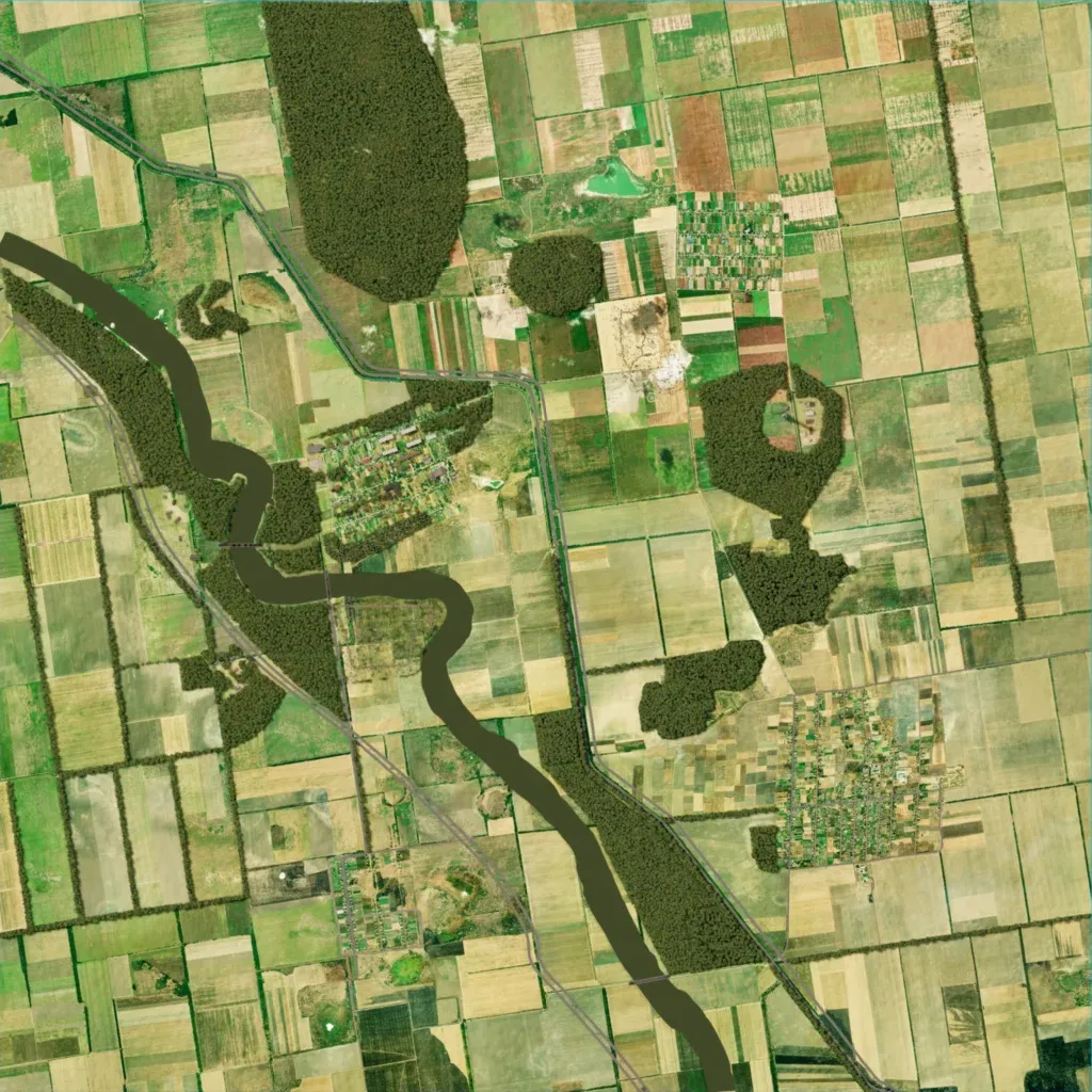
Flat farmland at 10 to 60 m elevation, split into rectangular fields by tree lines and dotted with forest blocks. A winding river runs from the west edge to the south edge as a flat brown band without water texture. Small villages in the west-center, southwest and southeast hold 163 buildings in total. Only one 0.8 km road is mapped. The author calls it a work in progress built for trenches and artillery. Open fields and few buildings suit artillery and infantry fights along tree lines, not urban combat.
