Strickler
Dense central forest cut by a winding river, with three roads and eight buildings on a 4.4 km world. Plan operations on this 4.4 km Arma Reforger map in TacOps.
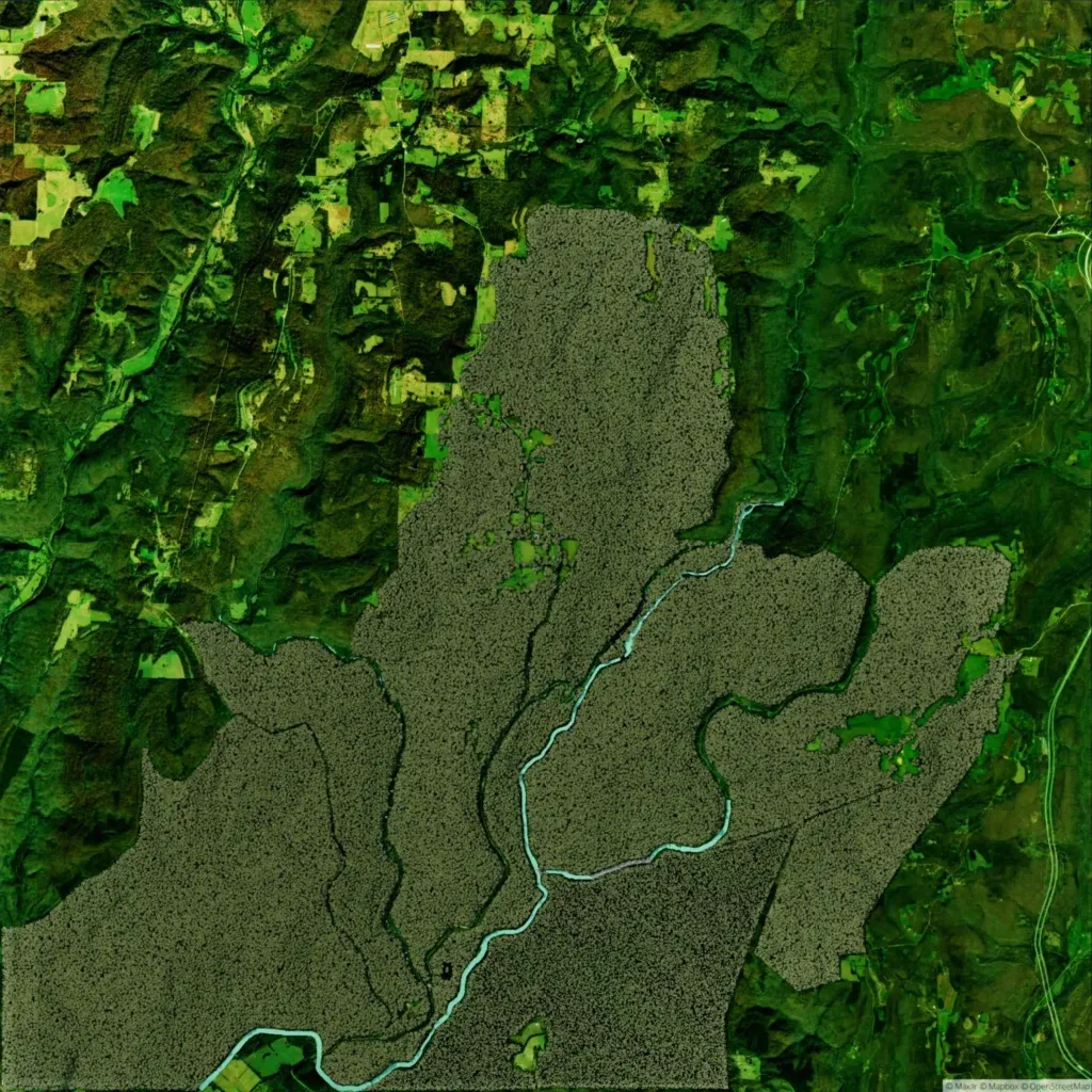
Dense forest covers the centre and south of a 4.4 km world, with elevation from 10 to 240 m. The author describes it as a deciduous, karst Mid-South terrain. A winding river runs from the centre to the south-west corner, joined by an eastern tributary. No towns are named; there are eight buildings, one religious site, and three roads totalling about 8 km. Outside the forest, the north, west and east show blurrier, lower-detail ground of wooded hills and fields. It suits small infantry patrols and woodland ambushes.
