Svartport
Small forested island about 2 km across, with a harbour cluster and pier on the southeast coast. Plan operations on this 2.1 km Arma Reforger map in TacOps.
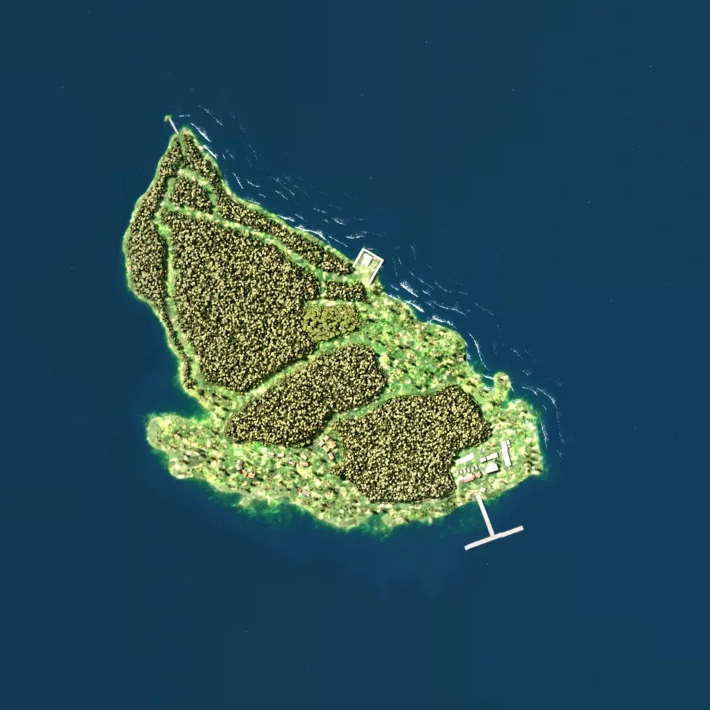
The island runs northwest to southeast, mostly dense forest blocks split by grassy strips, with elevations of 10 to 40 metres. Labelled places are Svartport, Nordbay, Sevnitsa, Kisubaer, Draugaeinn and Joels Shack. The main built-up area sits on the southeast coast beside a T-shaped pier, with scattered houses along the south shore. About 6.7 km of roads cross the island, and there are no lakes. The author lists six locations, including a ghost town, sawmill and fishing village. It suits small infantry or amphibious operations.
