Tail of the Dragon
Steep forested hills cut by a wide winding river and one twisting road, with few buildings and no towns. Plan operations on this 8.2 km Arma Reforger map in TacOps.
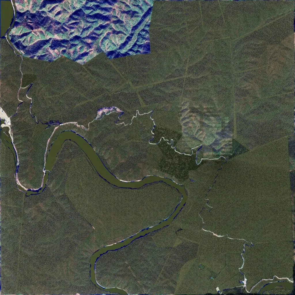
An 8.2 km square of steep, densely forested hills between 260 and 1010 m elevation. A wide river winds through the west and south, and a twisting road runs from the west edge through the centre to the south-east corner. There are no named towns, only 45 buildings. The north-west corner shows mismatched blue-tinted imagery, and patchy lighter tiles sit east of centre. The author calls it Highway 129's Tail of the Dragon, a work in progress. It suits driving, convoy, or ambush operations along the road.
