Takistan
Arid mountains cut by green valleys, with two airfields, scattered villages and bare desert edges. Plan operations on this 12.9 km Arma Reforger map in TacOps.
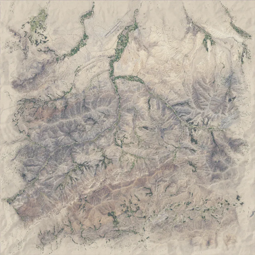
Arid 12.9 km mountains rising from 10 to 870 m, cut by narrow green valleys. The north has farmed valleys, a northwest town and an airfield; a second airstrip lies in the southeast. Overlays list 10 cities, 24 military sites, 29,484 buildings and 161 km of roads. Surface water is limited to a few small lakes. The map edges are wide bare sand with sparse shrubs. It suits mountain infantry, convoy and helicopter operations. The author calls it a port of Takistan from Arma 2, still in development.
