Tamboti Valley
Bush-covered hill valley with a deep gorge, a large lake in the southwest and small scattered settlements. Plan operations on this 6.1 km Arma Reforger map in TacOps.
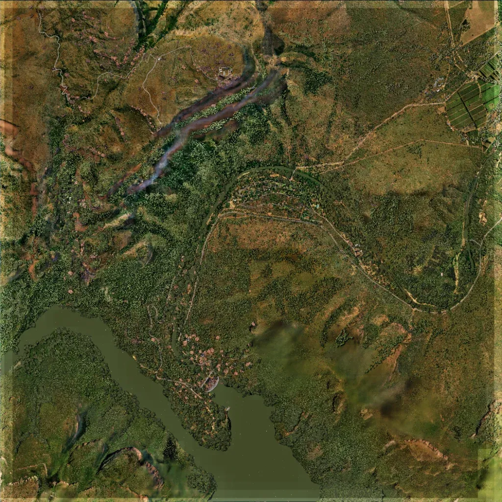
Mostly dense bush and woodland over hills, 570 to 1590 m high, on a 6.1 km square. A deep gorge cuts across the north and a large lake fills the southwest. Small building clusters sit by the lake, with farm fields in the northeast. About 23 km of roads and tracks, including a long central loop, link them. No large empty or untextured areas are visible. The author bases it on Blyder River Canyon, South Africa. Suits infantry patrols and ambushes in close bush.
