Tenhult
Dense forest and farmland around two large lakes, with a main western town and about 181 km of roads. Plan operations on this 16.4 km Arma Reforger map in TacOps.
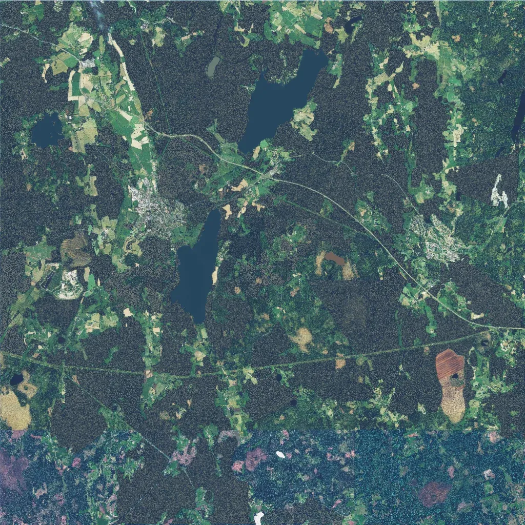
Dense conifer forest and farmland clearings surround two large lakes in the north and centre. The main town lies west of the central lake, with a second town in the east. About 181 km of roads link them; a long corridor runs from the northwest to the east edge. Elevation runs from 250 to 470 m. A strip along the south edge has mismatched bluish-purple ground imagery. The author says it recreates a Swedish town of the same name and is unfinished. It suits infantry and light vehicle operations.
