Us-Afghanistan-Kandahar-Map
Dense city on a desert plain between rocky ridges and irrigated fields, about 9 km across. Plan operations on this 9 km Arma Reforger map in TacOps.
Map tiles updated
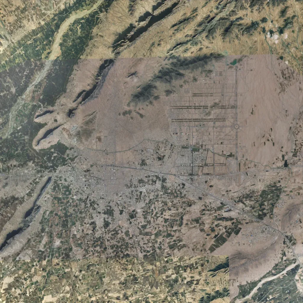
The author describes it as a recreation of Kandahar and its surroundings. A dense city spans the centre, crossed by a highway running southeast. Rocky ridges rise in the north and west; elevation runs 550 to 930 m. Irrigated fields fill the south and northwest, with wide riverbeds in the northwest and southeast corners. In the northeast, a street grid sits on mostly bare desert. A paler imagery block with visible seams covers the north-centre and east. About 9 km across, it suits urban combat, convoys and ridge overwatch.
Map facts
- Game: Arma Reforger
- Size: 9 km, 9 by 9 grid squares of 1 km
- Made by w_SHAIRE_w (Workshop page)
Layers and modes
- Satellite imagery
- In-game map
- Contour lines every 10 m
- Named places
- Hillshade
- Slope analysis
- Line-of-sight checks
- Water levels
- 3D terrain view (TacOps Pro)