Västervik Airfield - ESSW
Forested 3 km lakeside map with a small airstrip, one main road, open fields and scattered farms. Plan operations on this 3.1 km Arma Reforger map in TacOps.
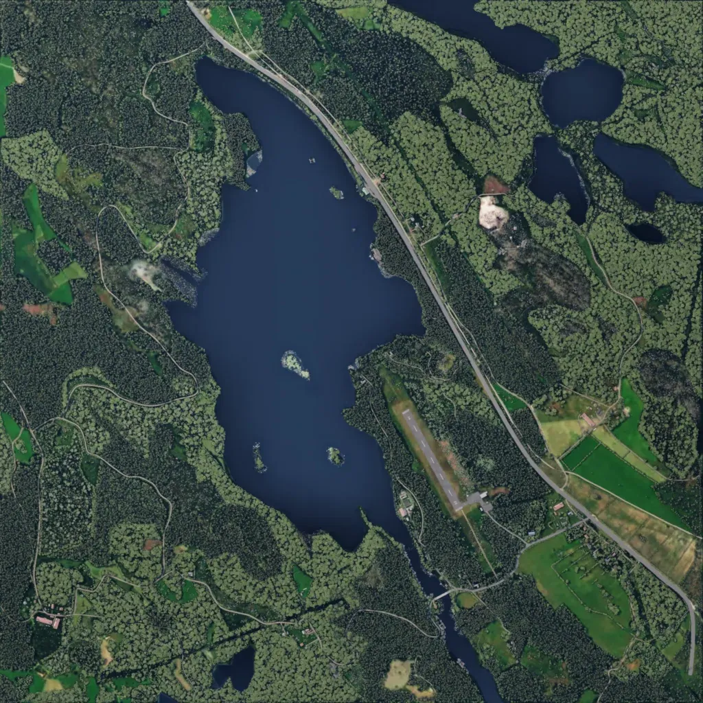
The author says it recreates the area around Västervik Airfield on Sweden's east coast. Dense forest covers most of the 3 km square, around a large central lake with small islands and several smaller lakes to the northeast. A runway sits southeast of the lake beside a main road running northwest to southeast, with open fields to the east. About 43 km of roads, mostly narrow tracks, link scattered farms and hamlets totalling 190 buildings. No imagery gaps or empty ground are visible. It suits small-unit infantry and airfield raids.
