Ven Island
Farmland island with a north-central village, three small harbours and an airstrip at the southern tip. Plan operations on this 4.1 km Arma Reforger map in TacOps.
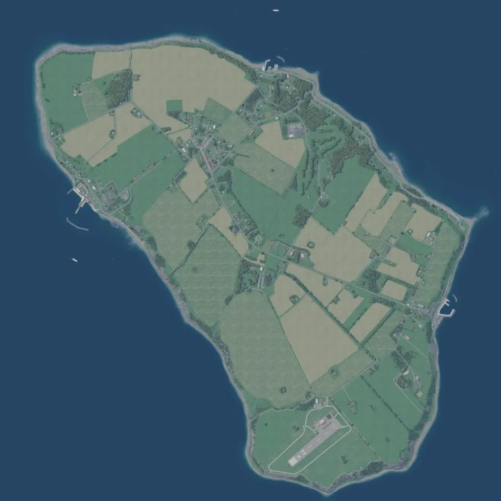
The author says it is loosely based on Ven, a Swedish island in the Öresund Strait. The island's contours run from 10 to 40 metres. Most land is open farm fields split by hedgerows, with woods in the north and east. A village lies in the north-centre, and farms line about 64 km of roads. Harbours sit on the west, north and east coasts, and an airstrip lies at the southern tip. Locality labels are placeholders such as 'Name Blob10'. Open fields and coast suit small infantry and amphibious operations.
