Vin Drin Dop
Jungle-covered coastal hills with river channels, offshore islands and a southern airstrip, 4.6 km square. Plan operations on this 4.6 km Arma Reforger map in TacOps.
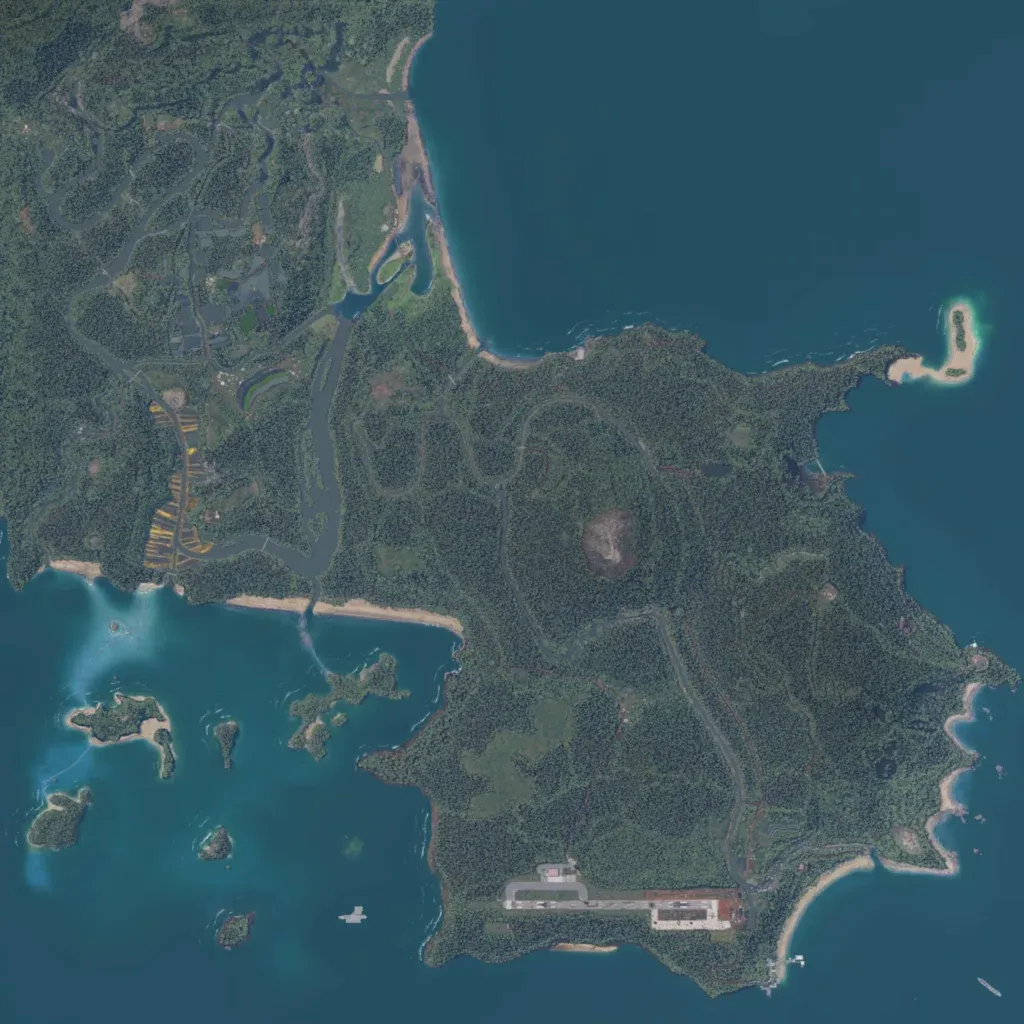
The 4.6 km map is mostly dense jungle over hills from 10 m to 340 m, with sea to the east and south. The author bases it on Vietnam. Winding river channels fill the north-west, with small clusters of buildings among them. Wooded islands lie off the south-west coast, with a sandy islet to the north-east. An airstrip with buildings sits on the south coast. Around 73 km of roads link 418 scattered buildings; no towns are named. It suits jungle patrols, river operations and airfield assaults.
