Vostokya
Bridged island chain about 4 km across with towns, farmland, a power plant, a quarry and an airstrip. Plan operations on this 4.1 km Arma Reforger map in TacOps.
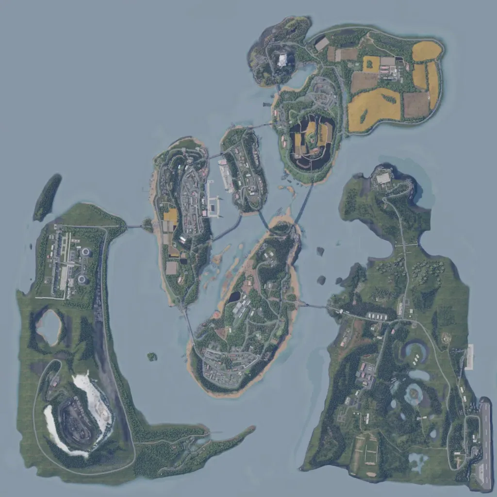
Several islands and islets fill a 4 km square, linked by road bridges. Ground runs from 10 to 210 m, mostly grass and woods, with farm fields in the northeast. The central islands hold dense town blocks, and the map has 2,207 buildings in total. The west island has a power plant and a quarry; the east island has an airstrip. Some coastal stretches are open grass with little placed. Suits bridge-crossing and combined-arms operations. The author sets it south of Chernarus in the 1990s post-Soviet era.
