Waiouru
Farmland, rolling hills and forest blocks with one small town, two main roads and a winding river in the north. Plan operations on this 4.6 km Arma Reforger map in TacOps.
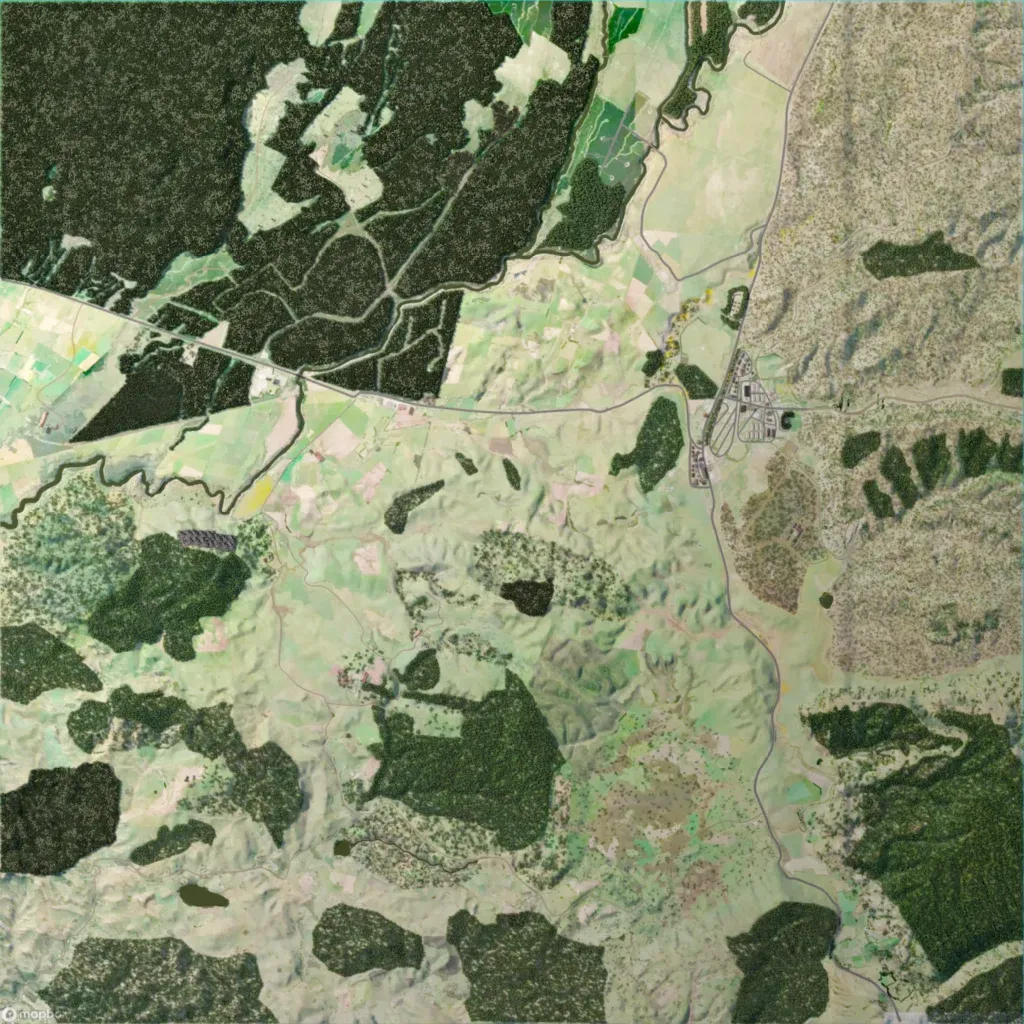
A 4.6 km map of farmland, rolling hills and large forest blocks, 730 to 1100 m high. The only town sits at a road junction east of centre. A main road crosses west to east and another runs north to south along the east side. Dense plantation forest cut by tracks covers the northwest beside a winding river. It suits infantry operations moving between forest cover and open farmland. The author describes it as New Zealand farmland, hills and trees.
