West Zagoria
4.6 km river valley with a central town, farmland in the west and dense forest in the east. Plan operations on this 4.6 km Arma Reforger map in TacOps.
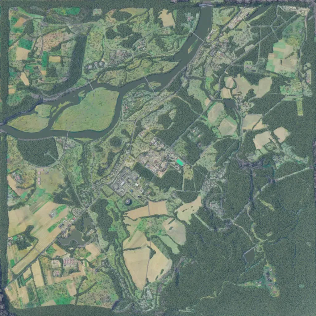
The 4.6 km map has a river entering at the north edge and leaving on the west edge, with bridges and a large grassy island. A large town sits in the centre, with smaller villages along the river and in the north-east. Patchwork farmland covers the west and south, while dense forest fills the east and south-east. About 107 km of roads link the settlements, and the map lists 41 military points of interest. It suits combined-arms fighting around the town and infantry work in the eastern woods.
