Westpfalzmap
Forested hill country, 8.7 km square, with farm fields on the edges and small scattered villages. Plan operations on this 8.7 km Arma Reforger map in TacOps.
Map tiles updated
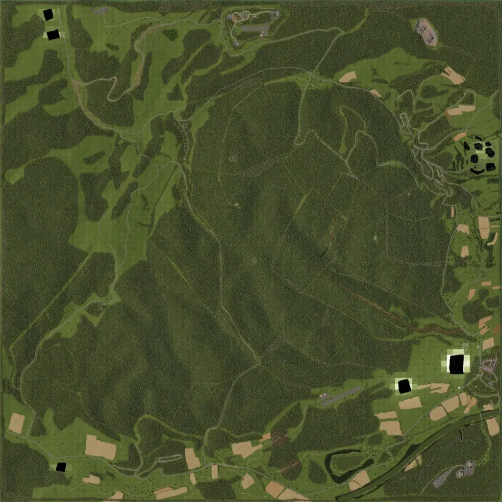
Temperate forest covers most of this 8.7 km square of hills (230–690 m), with farm fields along the edges. The map holds about 656 buildings across towns and villages including Neustetten, Hirschfeld and Oberreuth. Around 115 km of roads and tracks cross the woods. A river winds through the south-east corner; small ponds dot the fields. Black patches with pale borders in the north-west, south-west and south-east look like placeholder ground. The author bases it on Germany's Westpfalz region. It suits forest patrols and small-unit infantry work.
Map facts
- Game: Arma Reforger
- Size: 8.7 km, 9 by 9 grid squares of 1 km
- Made by RaccoonDIV6 (Workshop page)
Layers and modes
- Satellite imagery
- In-game map
- Topographic map details
- Roads
- Contour lines every 10 m
- Named places
- Hillshade
- Slope analysis
- Tree canopy
- Line-of-sight checks
- Water levels
- 3D terrain view (TacOps Pro)