Winchester Illinois
Rural 6.4 km farmland grid with one small town, wooded creek valleys and scattered farmsteads. Plan operations on this 6.4 km Arma Reforger map in TacOps.
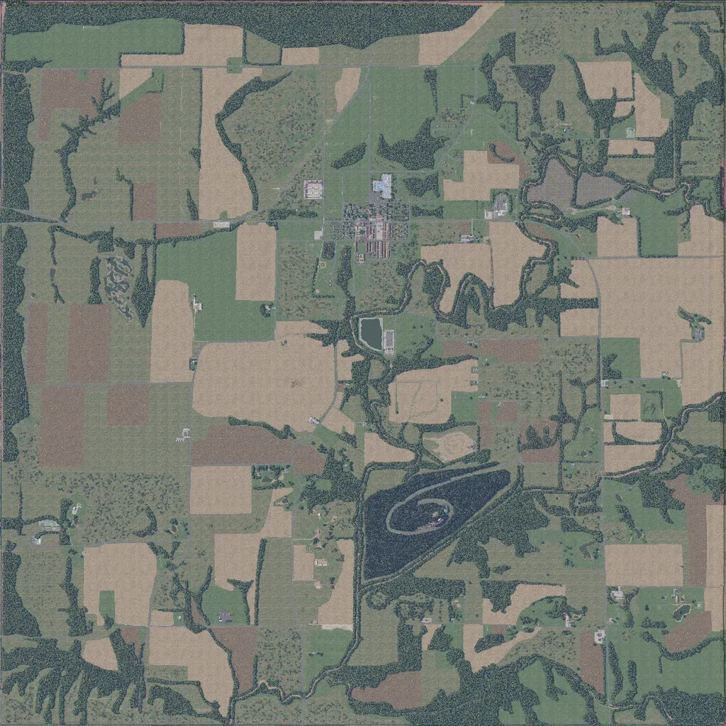
Square crop and grass fields cover most of the 6.4 km map, cut by tree-lined creek valleys. One small town sits north of centre; farmsteads are scattered among the fields. Roads total about 82 km and mostly follow a straight north-south and east-west grid. A large elongated lake lies south of centre; a rectangular pond sits south of the town. Elevation spans only 10 to 90 m. Open ground suits small-unit and vehicle operations. The author pitches it for role-play and Game Master sessions and notes unfinished barren areas.
