Woodbury
Forested 3 km island with many lakes, a southwest airfield, small eastern settlements and narrow forest tracks. Plan operations on this 3.1 km Arma Reforger map in TacOps.
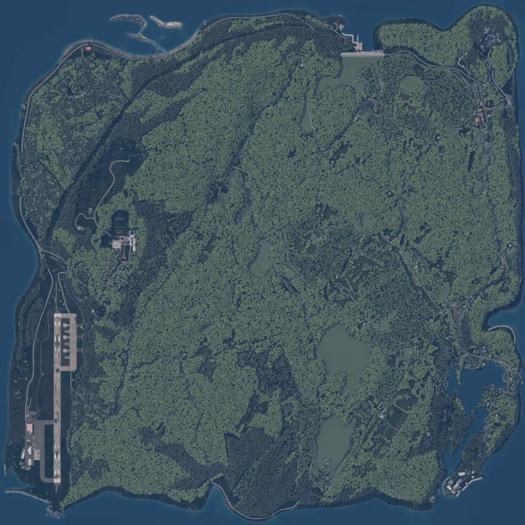
A 3 km map of densely forested island with many inland ponds and lakes, rising from 10 to 170 m. An airfield with a north-south runway sits on the southwest coast, and a military compound lies west of centre. Small settlements line the east side, with a harbor in the southeast. Most of the 43 km of roads are narrow forest tracks. No missing imagery or empty ground is visible. The author describes a New England town setting built around choke-points for infantry and vehicle fighting.
