WW2 Arland
Wooded island on a 4 km map with an airfield in the northwest, a bay in the southwest and a long eastern beach. Plan operations on this 4.1 km Arma Reforger map in TacOps.
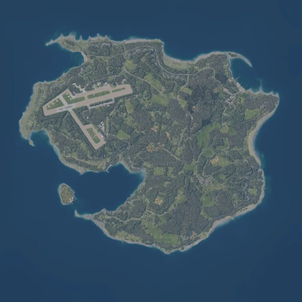
Forested island on a 4 km map, with an airfield in the northwest, a bay in the southwest and a long east-coast beach. Ground imagery covers all land; heights run 10 to 140 m. It has 933 buildings and named places including Arleville, Beauregard, Highfield and Newfield. The road overlay lists only seven roads totalling 2.6 km. The author says the map converts Arland to the 1940s, adding a fort, a Signal hill bunker and Normandy-style coast defences. It suits infantry, airfield assault and beach landing operations.
