Yellowstone National Park
5 km of wooded hills cut by a winding river and canyons, with one central building cluster and many dirt tracks. Plan operations on this 5.1 km Arma Reforger map in TacOps.
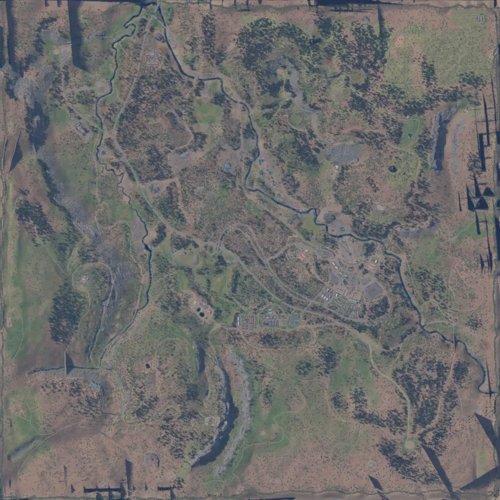
The author calls it a recreation of Yellowstone's Old Faithful tourist site. The 5 km map mixes forest and open grass over hills and steep canyons, from -10 to 560 m elevation. A river winds from the north edge through the centre to the south-east, and there are 23 small lakes. Most of the 561 buildings sit in one cluster south-east of centre, joined by 137 km of mostly dirt tracks. Localities carry placeholder names like Chotain2, and dark streaks mar the map edges. It suits infantry and helicopter operations.
