Zagorsk
12 km forested terrain with a western town, an airfield east of center, and a bare, unfinished northeast quarter. Plan operations on this 12 km Arma Reforger map in TacOps.
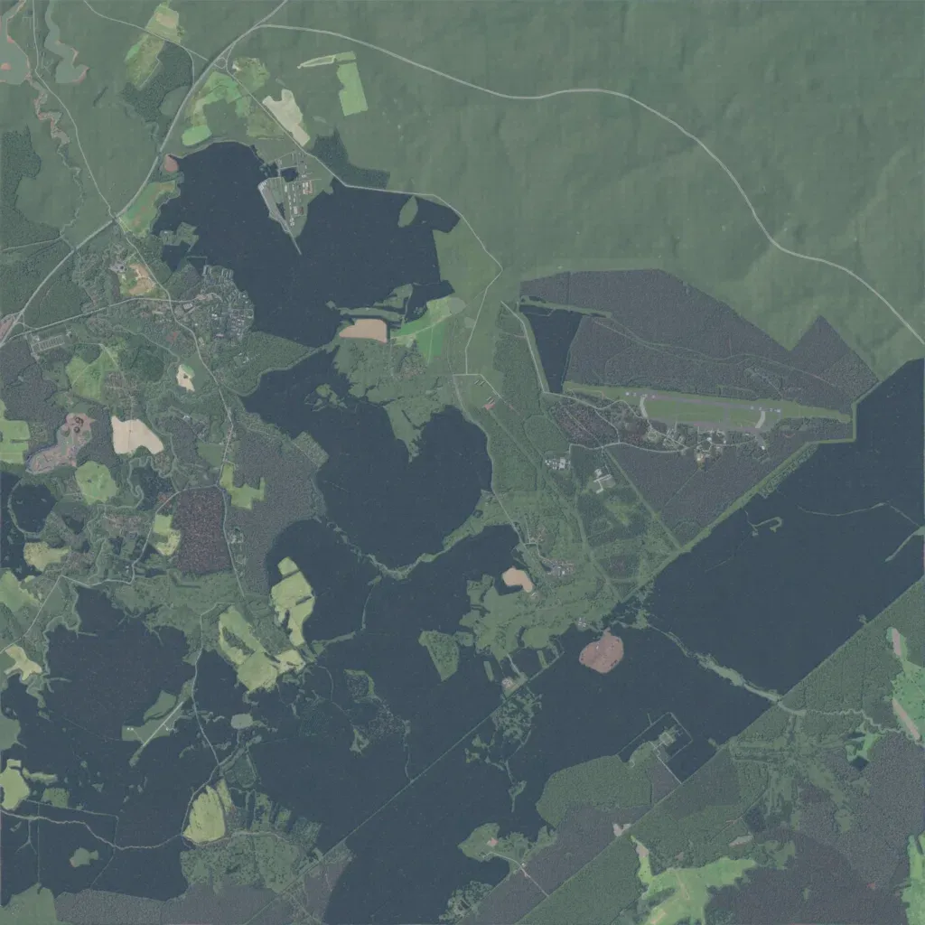
Dense forest covers most of this 12 km map, broken by fields, with elevations from 160 to 270 m. The largest built-up area is in the west, and an airfield with a runway sits east of center. There are about 3,300 buildings and 358 km of roads. The northeast quarter is bare green ground crossed by one road, with nothing placed. The author describes the map as a work in progress. It suits infantry fighting in forest and an assault on the airfield.
