Zimnitrita
Two landmasses split by a channel: farmed, built-up east and a largely bare, unfinished west. Plan operations on this 16.4 km Arma Reforger map in TacOps.
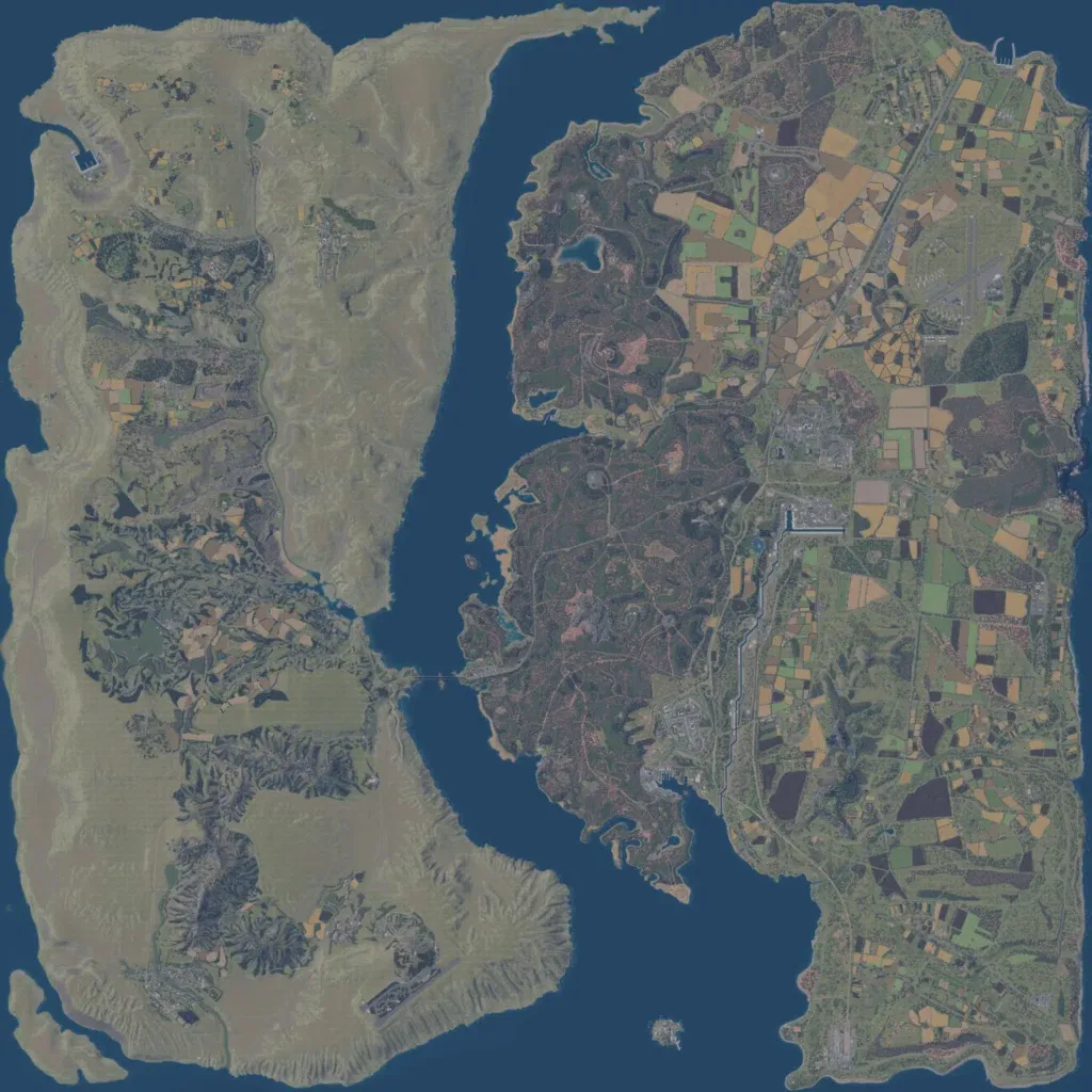
A 16 km map of two landmasses divided by a north-south channel, with one bridge near the middle. The eastern side is patchwork farmland and forest with towns, a north-eastern airfield and dense roads. Much of the western side is bare tan-grey ground with no roads, buildings or trees, especially along its west coast. Elevation runs from 10 to 490 m. The author says it is loosely based on a Ukrainian region bordered by the Oskil River and that the western part is unfinished. The east suits mechanised and combined-arms operations, with a river-crossing fight possible at the bridge.
